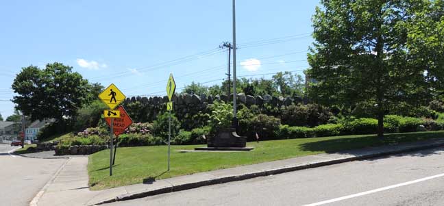
The Rockery
Easton, Massachusetts
Contributing member of the North Easton Historic District
TEXT Beneath Illustrations
 Neighbor across the street on left: 66 Main St. (formerw Post Office) Neighbor across the street on right: Ames Memorial Hall    |
| Contributing properties to the North Easton Historic District: 1. 66 Main Street (former post office) 2. Ames Shovel Shop 3. Ames Stable 4. The Rockery 5. H.H. Richardson Historic District of North Easton |
|
Excerpt from the National Register of Historic Places Inventory Nomination - H. H. Richardson Historic District of North Easton Pages 3-4 In a drawing of the site and Memorial Hall, it was clear that [Frederick Law] Olmsted had specific plans for the treatment of the land in front of the Hall. The plan shows the surroundings of the hall are extended across the short street (now called Barrows Street) connecting Main Street as it turns north to Lincoln Street so as to suggest the flat northern part of the triangular plot formed by the divergence of Lincoln and Main streets. This area, immediately in front of the Hall stairway, and the higher ground south of it was designed by Olmsted. Ernest Bowditch of Boston, the surveyor for the Memorial Hall project, had learned from [H. H.] Richardson
by September 11, 1881, that Olmsted wished an earlier survey extended
to include the triangular area. This plot, 200 feet long on the east
and west and 250 feet long on the south side, had been unused (except
for a flagpole at its eastern corner) since the removal of a former
Unitarian church in 1876. It was originally a space without interest,
but one that had the potential of becoming the nucleus in a village
plan.
A survey of property lines,
possibly made by Bodwitch in September, was probably Olmsted's first
step in this additional undertaking. In November and December Olmsted's
office devoted itself first to studies for the landscaping of the
unpromising, level northern portion of the triangular area.
Several plans were submitted and in April, 1882, a detailed plan was submitted:
The
specifications in Olmsted's words, called for the northern part of the
triangular area to be treated as a small triangular lawn separated from
the rockwork by a short road (for "carriages coming from the East")
that would end at the foot of the Memorial Hall stairs.
The top of the rockwork was to form a "rustic walk and is to be laid out with seats and shade trees" widening at the eastern end to form a circular space thirty feet in diameter around a flagpole. The "retaining wall," as Olmsted termed the northern side of the rockwork where the land dropped precipitously, was to be one of unmortared fieldstones "with a considerable slope that its general aspect may be consistent with the rock elevation of the Memorial Hall grounds." Olmsted probably believed that this treatment of the northern flank of the rockwork would have two important results: it would knit together visually the rockwork and the Memorial Hall site and it would reinforce by its similar appearance the rugged power of the hall's surroundings. The "retaining wall" was to be three feet higher than the larger (and lower) terrace of the hall stairway, thus, in Olmsted's words, "forming a parapet in front of it," and, consequently, increasingly obscuring a full view of the hall, picturesquely framed by trees and by the boulders of the northern wall of the rockwork. The remainder of Olmsted's specifications was a demonstration of the historically ancient and symbolic meanings of the form of the rockwork and an argument for how well suited it was in consequence for a Civil War memorial for North Easton. (Brown, Robert F. "The Aesthetic Transformation of an Industrial Community." Winterthur Portfolio 12. University of Virginia Press. Charlottesville, Va. 1977. p. 204) |